
GIS MAPPING SYSTEM
The City of Alton actively uses a Geographic Information System (GIS) to support a range of municipal planning and administrative functions. GIS integrates hardware, software, and data for spatial analysis of geographically referenced information. The Department employs this technology to support departmental goals and objectives including, but not limited to, land use planning, zoning administration, site selection, code enforcement, and property acquisition.
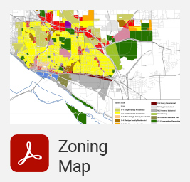
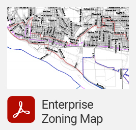
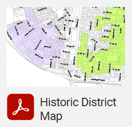
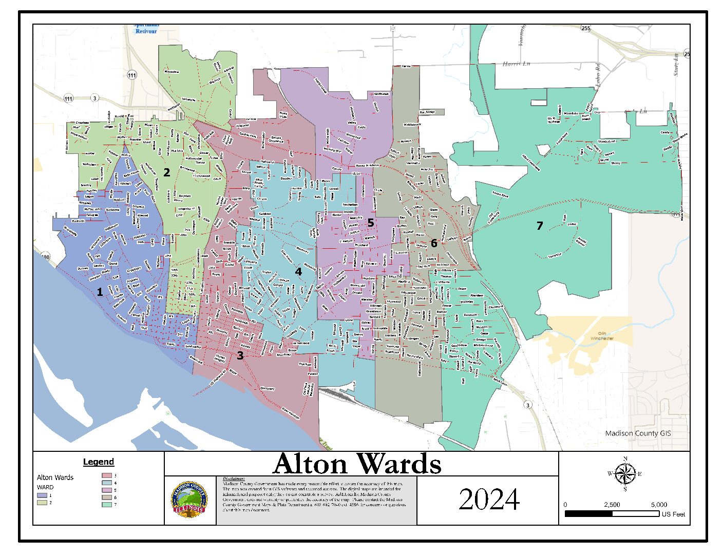
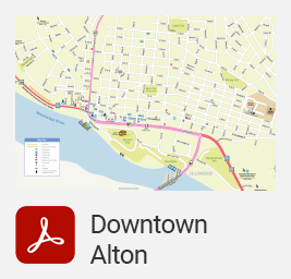
The production of thematic maps is one of the principal uses of GIS technology. The maps provided below were produced using proprietary and commercially available data sets.
Disclaimer: The thematic maps are intended for illustrative purposes only and are subject to frequent change. For specific questions related to zoning, historic districts, and incentive eligibility, please contact the Department of Development & Housing.
Please be advised that the following maps are large files and may take a moment to download.
Contact Us
GREG CAFFEY
Building and Zoning Director
E: gcaffey@cityofaltonil.gov
ANDI CAMPBELL
Zoning Administrator / ADA Coordinator
E: acampbell@cityofaltonil.gov
DAWN VOSS
Supervisor / Code Enforcement
E: dvoss@cityofaltonil.gov
SAM SHAW
Building Inspector
E: sshaw@cityofaltonil.gov
RICK ORBAN
Business Inspector / Code Enforcement
E: rorban@cityofaltonil.gov
KEVIN GROVE
Building Inspector
E: kgrove@cityofaltonil.gov
NATHAN POSTLEWAIT
Occupancy Inspector
E: npostlewait@cityofaltonil.gov
CHRISTINE LITTLE
Secretary
E: clittle@cityofaltonil.gov
SALLY CRONIN
Secretary
E: scronin@cityofaltonil.gov
CODE ENFORCEMENT OFFICE
101 E. Third Street
Alton, IL 62002
P: 618.463.3533
FAX: 618.463.0972
OFFICE HOURS
Monday – Friday
8:00 A.M. – 5:00 P.M.